 The 1954 battlefield, mountain roads and villages of Dien Bien, explained in English
Independent guide to Dien Bien province
Dien Bien, explained for visitors from abroad
An independent English guide to Vietnam's far north-western province: the 1954 battlefield and what each site means, the mountain roads in and out, the Thai, Hmong and Khmu villages, the border crossing into Laos, and how long to stay. Opening hours, fees and transport details carry the date we last checked them.
What Dien Bien is, in one paragraph
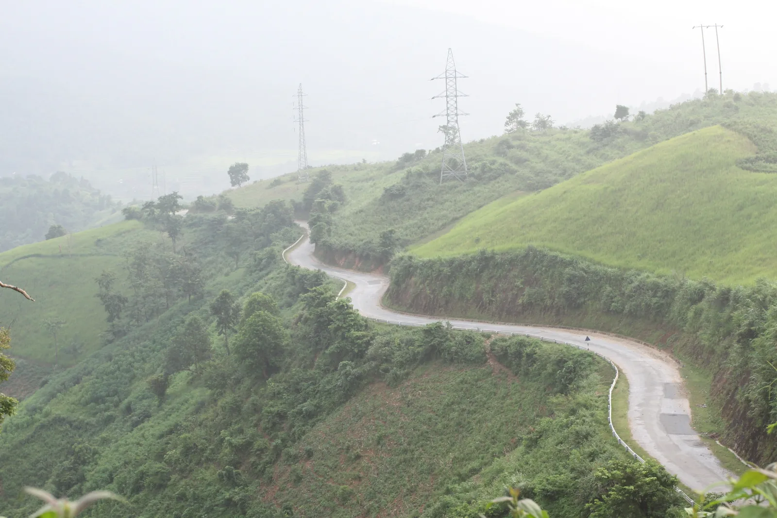
Dien Bien is a mountain province on Vietnam's border with Laos and China, about 450 km by road west of Hanoi. Its centre is the town of Dien Bien Phu, which sits in the Muong Thanh valley, a flat basin of rice fields roughly 20 km long and 5 km wide. In 1954 that valley was the scene of the battle that ended French rule in Indochina, and many of the hills where it was fought are now preserved as a national heritage site. Outside the valley, the province is steep, thinly populated and home to 19 ethnic groups, with Thai communities in the valleys and Hmong communities higher up.
Most international visitors come for one of three reasons: the battlefield, the road loop through the north-west mountains, or the crossing into northern Laos at Tay Trang. This guide is built around those three reasons and the practical questions that come with them.
Sources: VietnamPlus — history and geography of Dien Bien province; Wikipedia — Muong Thanh Valley · last checked .
Choose where to start
The battlefield sites
A1 Hill, the de Castries bunker, the Victory Museum, the cemeteries and the French memorial, with current opening hours and fees. See the battlefield sites.
The 1954 battle explained
What happened between March and May 1954, told for readers who did not grow up with either the French or the Vietnamese version. Read the background.
The northwest loop
Pha Din pass, Tuan Giao, Muong Lay and the side road to Tua Chua: distances, road conditions and where the loop goes next. Plan the loop.
Villages and markets
Who lives where, which villages receive visitors, how market days work, and the etiquette that matters. Read about villages.
Crossing to Laos at Tay Trang
Which visas work on each side, how far the border is, and how buses to Muang Khua run. Check the crossing.
Getting there and timing
Flights from Hanoi, sleeper buses, riding a motorbike, the ban flower and harvest seasons, and how many days to give it. Getting there · When to go.
The places this guide covers
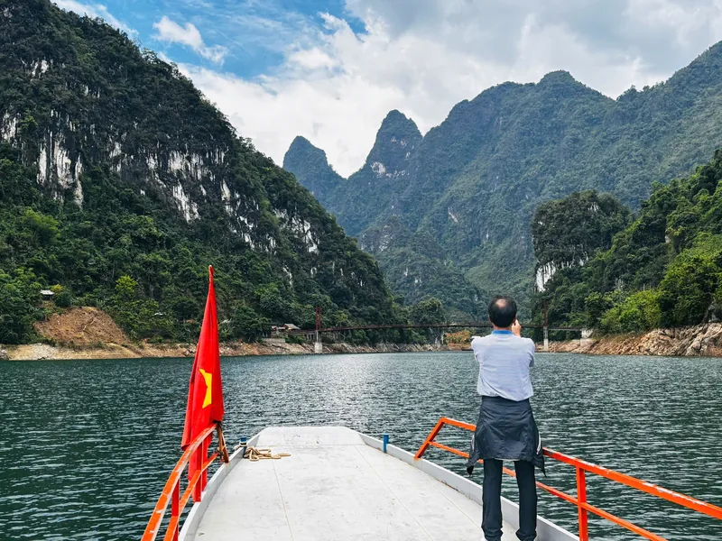
Four areas get a page of their own. Dien Bien Phu is the town and valley, where nearly all the battlefield sites are within a few kilometres of each other. Muong Phang, in the hills to the east, holds the forest headquarters used by General Vo Nguyen Giap during the campaign, a Black Thai village and Pa Khoang lake. Tua Chua and Muong Lay are the northern side of the province: a limestone plateau with old tea trees, and a town rebuilt above the reservoir of the Son La dam. A Pa Chai, at the far western tip, is where the borders of Vietnam, Laos and China meet.
The places overview compares the four side by side: how far each is from Dien Bien Phu, how long it needs, and who should leave it out.
Facts that change, and the dates we give them
The battlefield sites changed their opening hours in March 2026. From 1 October to the end of February they open 07:00–11:00 and 13:30–17:30; from 1 March to 30 September the afternoon session runs until 18:00. The Victory Museum has charged 100,000 VND per adult since August 2022. Flights between Hanoi and Dien Bien Phu take about an hour, and since December 2025 there has also been a twice-weekly flight from Ho Chi Minh City.
Facts of this kind sit above a small line naming the source and the date we checked it. If you find something different on the ground, the contact page explains how to tell us.
Sources: Bao Van Hoa — Dien Bien Relics Management Board changes opening hours (March 2026); Bao Van Hoa — Victory Museum fee under Resolution 03/2022/NQ-HDND; Vietnam Airlines — Dien Bien Phu to Hanoi route page; People's Army newspaper — Vietnam Airlines launches Ho Chi Minh City–Dien Bien route · last checked .
How to use the battlefield pages if you know little about 1954
Many visitors arrive knowing only the name. The sites themselves are presented from the Vietnamese side, as a national victory, and some labels are in Vietnamese only. For French visitors the same ground is a place of loss: thousands of soldiers of the French Union, including Legionnaires, North and West Africans, Vietnamese and Tai, died here or in the prison camps that followed. Both views are present in the valley, physically: large Vietnamese military cemeteries, and a small memorial to the French dead.
Our pages describe what you will see and what it meant to the people who fought there, without taking sides and without describing war as glory. Read the background page first if you want the sequence of events, then the sites page for the visit itself.
A sensible first plan
For a first visit with an interest in history, two full days in Dien Bien Phu is a workable minimum: one day for the sites in the valley, one for Muong Phang and a village. Add one or two days if you are arriving or leaving by road over Pha Din pass or through Muong Lay, and a night at the end if you are crossing to Laos, because the bus to Muang Khua leaves early in the morning.
The weather favours the dry months from October to April. March brings the white ban flowers that the province uses as its symbol, and the annual festival that goes with them. The how many days page sets out sample plans from one to five days.
Who this guide is not for
- Readers who want to book a tour, a hotel or a bus. We do not sell anything and we do not recommend companies.
- Visitors looking for Vietnamese-language content. This guide is written in English for international readers.
- Anyone wanting a political argument about the war. We describe the history and the sites, not who was right.
- Travellers who need same-day information on road closures. Check local news and your accommodation before driving mountain roads in the rainy season.
Common questions
Questions readers ask
Is Dien Bien worth visiting if I am not interested in military history?
Yes, for the mountain roads, the Thai and Hmong villages and the valley landscape, especially in March and at harvest time. The battlefield sites are compact, so even a short look takes only half a day.
Is this an official tourism website?
No. It is an independent guide written in English. It links to official sources, such as the provincial relics management board notices, airlines and foreign ministry travel advice, so you can check details yourself.
Did Dien Bien province change in the 2025 administrative reforms?
The province itself was not merged with a neighbour. District level was abolished from 1 July 2025 and the province now has 45 communes and wards; the town of Dien Bien Phu is divided between the wards of Dien Bien Phu and Muong Thanh.
Can I visit Dien Bien and continue to Laos?
Yes, through the Tay Trang border gate about 35 km from town, but check the Lao visa situation first. The Lao eVisa is not accepted at this crossing.
Related
Read next
History · Sites
Battlefield sites
Each 1954 site in the valley explained, with current opening hours, fees and visiting order.
Read more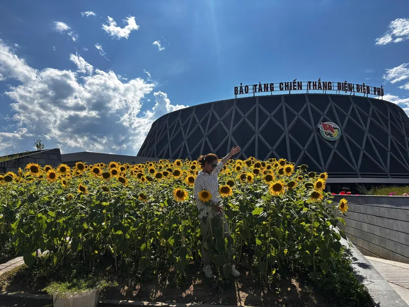
History · Background
The 1954 battle
The battle in brief: background, the 56 days, losses on both sides, and how it is remembered.
Read more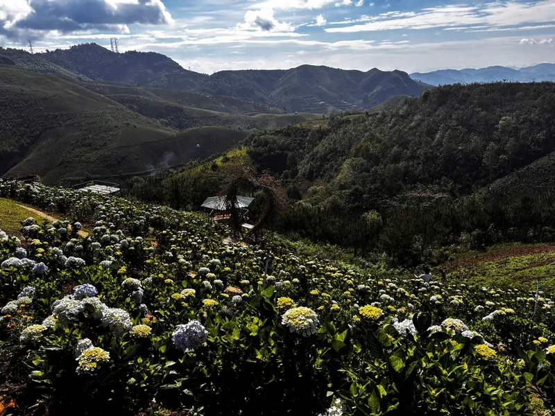
Places
Places
The four main areas of Dien Bien province side by side: distance, time needed and who should skip them.
Read more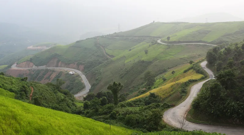
Roads · Northwest loop
Northwest loop
The Dien Bien section of the northwest road loop: passes, junctions, conditions and where it goes next.
Read more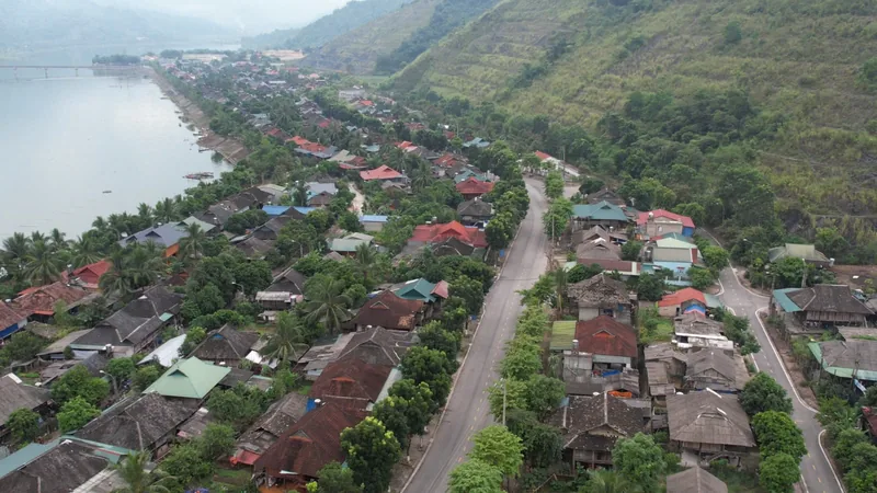
Border · Laos
Tay Trang border
The Tay Trang–Sop Hun crossing: visas on each side, distances, buses, opening times and pitfalls.
Read more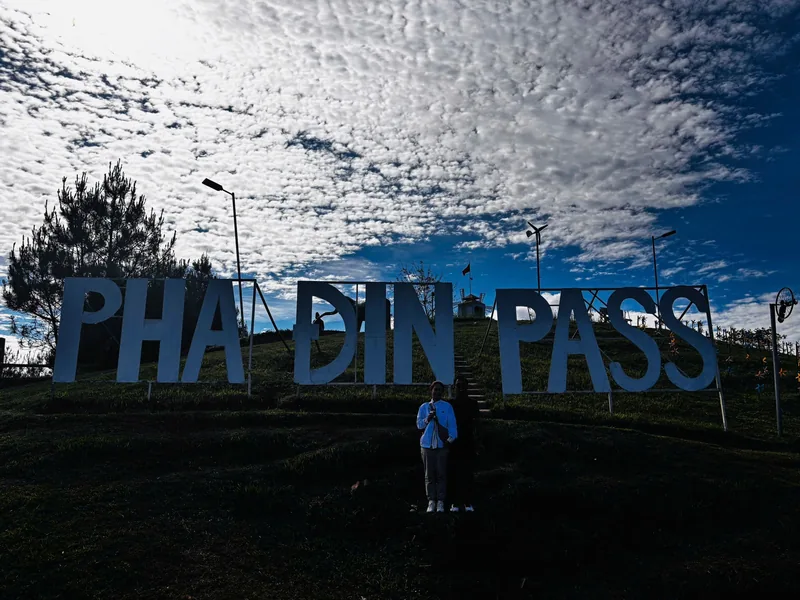
Planning · Getting there
Getting there
Flights, sleeper buses and riding to Dien Bien Phu compared, with times, fares and the rules for motorbikes.
Read more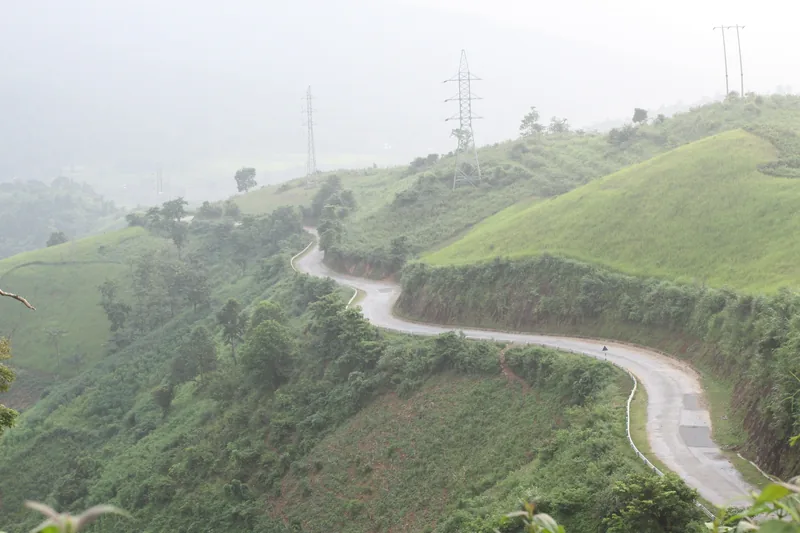
Start planning
Send a correction or a question
Tell us which page you are writing about, what you found and when. A link to an official notice or a photo of a sign helps us check it.