 The 1954 battlefield, mountain roads and villages of Dien Bien, explained in English
Places · Tua Chua and Muong Lay
Tua Chua and Muong Lay: the north of the province
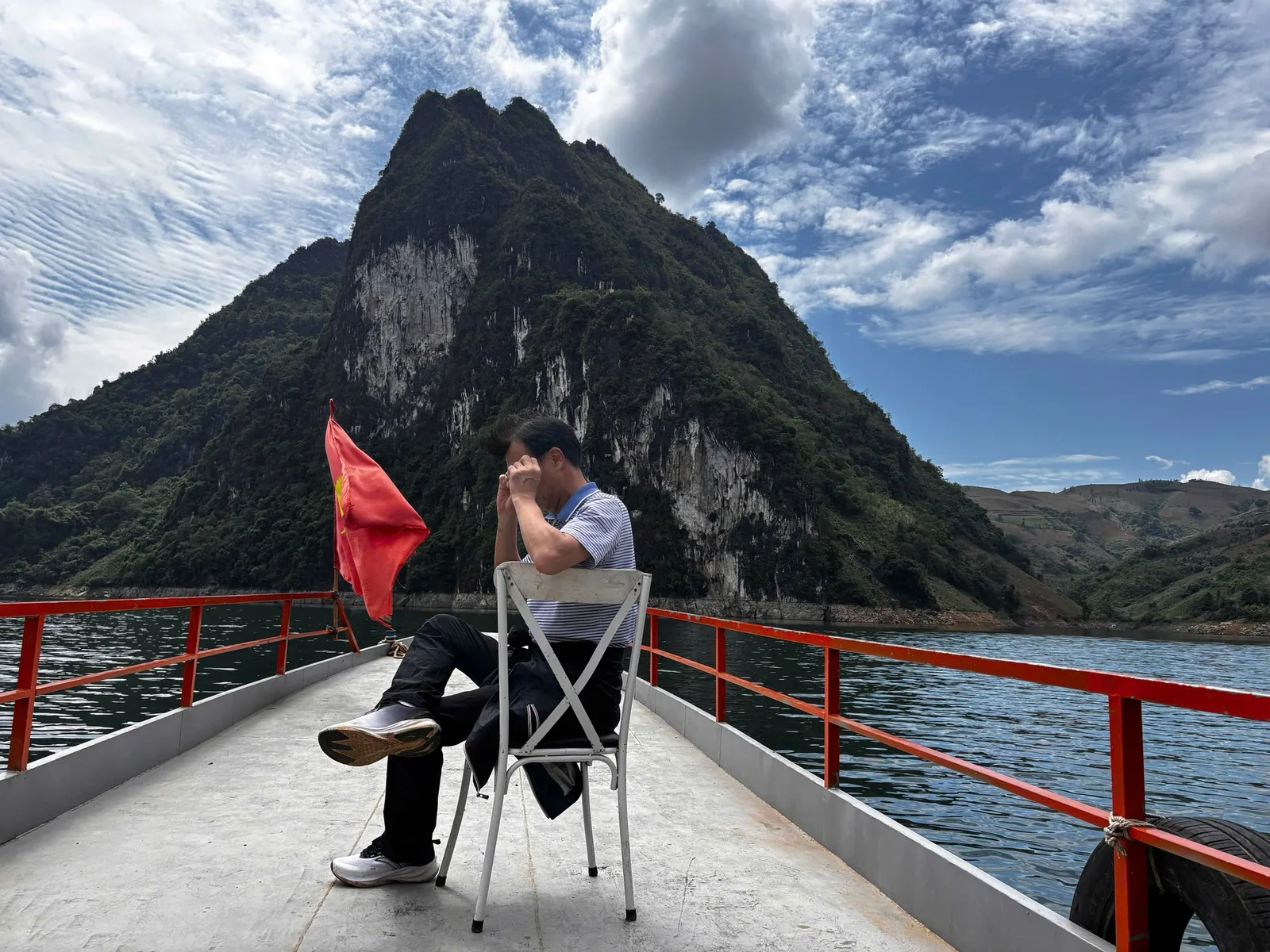
North of the Muong Thanh valley, the province turns into high limestone country and deep river gorges. Tua Chua is a rocky plateau where Hmong families pick tea from very old trees; Muong Lay is a small town rebuilt on the slopes above the reservoir that drowned its predecessor.
At a glance
- Tua Chua altitude
- About 1,400 m
- Old tea trees
- 7,933 recorded
- Muong Lay
- Rebuilt after 2010–2012 flooding
- Road
- QL12 and provincial roads
- Nights
- 1 each, on a loop
- Dry season
- October–April
Sources: Viet Nam News — Tua Chua, Dien Bien's unpolished gem (2018); Vietnam National Authority of Tourism, rural tourism site — Dien Bien ecotourism; Travelfish — Muong Lay (undated listing); VnExpress — Dien Bien travel handbook (December 2023) · last checked .
What these places are
Tua Chua
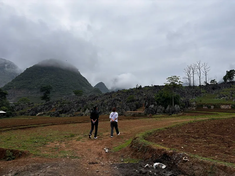
Tua Chua is a plateau of grey limestone at around 1,400 m, where small maize and tea plots are wedged between outcrops of rock. Most of the people are Hmong. The area is known in Vietnam for Shan Tuyet tea, a variety grown from tall, old trees rather than clipped bushes. The province records nearly 600 ha of tea here, including 7,933 ancient trees, mainly in the communes of Sin Chai and Ta Sin Thang; in early 2022 a national environmental association recognised 100 of the trees at Sin Chai and Hau Chua as heritage trees. Picking, mostly by Hmong women, runs from March to October.
Tua Chua is not a developed destination. A national tourism authority report notes that the tea area has no organised tourist activities yet, and roads between villages are regularly damaged by floods and landslides. What you get is a working landscape: the Ta Phin rock plateau, the tea villages, and a market at Ta Sin Thang that runs on a six-day cycle rather than a fixed weekday.
Muong Lay
The old town of Muong Lay stood at the meeting of rivers on the border of Dien Bien and Lai Chau provinces. When the Son La dam on the Da river was built, its reservoir flooded the old town; sources date the flooding between 2010 and November 2012, the year the dam was completed. The dam project resettled more than 91,000 people, most of them from ethnic minority communities, the largest resettlement in Vietnam's history.
The new town runs along both banks of the reservoir, linked by bridges. A new bridge stands more than 70 m above the level of the old Hang Tom bridge of 1967, which once crossed the river at the bottom of the gorge. Muong Lay is roughly halfway along National Road 12 between Dien Bien Phu and Lai Chau, which makes it a natural overnight stop on the northwest loop.
Sources: Viet Nam News — Tua Chua, Dien Bien's unpolished gem (2018); Vietnam National Authority of Tourism, rural tourism site — Dien Bien ecotourism; Travelfish — Muong Lay (undated listing); VnExpress — Dien Bien travel handbook (December 2023); Wikipedia — Son La Dam · last checked .
How many nights, and why fewer can fail
Muong Lay works as a single overnight stop between Dien Bien Phu and Lai Chau or Sapa: you arrive in the afternoon, walk along the reservoir, and leave in the morning. Passing through without stopping is possible, but the drive from Dien Bien Phu to Sapa in one day is long, and you would see Muong Lay only through a windscreen.
Tua Chua needs at least one night if you want to see the tea villages or the market, because the roads are slow and the market day changes. A day trip from Dien Bien Phu is a very long day on mountain roads with little time on the plateau. If you are not specifically interested in tea or Hmong farming communities, it is reasonable to leave Tua Chua out.
Sources: Viet Nam News — Tua Chua, Dien Bien's unpolished gem (2018) · last checked .
When to go
Rains peak July–August; fog is common on high ground in winter mornings. Tea picking runs March–October.
The dry months from October to April are safer for driving. Winter mornings on the plateau can be cold and foggy, and the views of the karst often clear only around midday. From March to October the tea is being picked, which gives the villages more activity. In the peak rains, the provincial roads up to the plateau are the most likely to be cut by landslides.
Sources: VnExpress — Dien Bien travel handbook (December 2023); Viet Nam News — Tua Chua, Dien Bien's unpolished gem (2018); UK Foreign Office — Vietnam safety and security · last checked .
Getting there
Muong Lay is on National Road 12, the main road north from Dien Bien Phu towards Lai Chau. An undated listing records buses from Dien Bien Phu to Muong Lay in the afternoon, and buses from Muong Lay back to Dien Bien Phu early in the morning, with other services towards Lao Cai and Tuan Giao; treat these as indicative and confirm at the bus station.
Tua Chua is off the main highways and is easiest with your own transport or a hired car with driver. Check the route on a current map and ask locally about road works and landslides before setting out, especially after heavy rain. The getting there page has the rules for riding a motorbike.
Sources: Travelfish — Muong Lay (undated listing); Travelfish — transport from Dien Bien Phu (undated listing); UK Foreign Office — Vietnam safety and security · last checked .
What it costs
| Item | Range | Note |
|---|---|---|
| Hotel in Muong Lay | About 200,000–300,000 VND a night | Undated listing; check before you go |
| Bus Dien Bien Phu – Muong Lay | About 50,000–70,000 VND | Undated listing; confirm current fare |
| Tea and market purchases | Small amounts in cash | No card payment in villages |
Bring enough cash from Dien Bien Phu. Do not count on cash machines on the plateau.
Sources: Travelfish — Muong Lay (undated listing); Travelfish — transport from Dien Bien Phu (undated listing) · last checked .
Pictures



Who should skip these places, and when not to go
- Visitors who come only for the 1954 history. Neither place has battlefield sites.
- Travellers without their own transport or a driver, for Tua Chua. Public transport does not fit a short visit.
- Anyone travelling in July or August with fixed onward connections, because landslides can close roads for hours.
- People expecting a resort-style lakeside town at Muong Lay. It is a small, functional resettlement town.
Common questions
Questions readers ask
Can I see the drowned old town of Muong Lay?
No. The old town lies under the reservoir of the Son La dam. What you can see is the new town on the slopes and the high bridges over the water.
Is Tua Chua set up for visitors?
Only lightly. A national tourism authority report notes that the tea area has no organised tourist activities yet. Expect basic guesthouses and few services in English.
When is the market at Ta Sin Thang?
It runs on a six-day cycle, so the weekday changes. Ask locally the day before.
Is Muong Lay in Dien Bien or Lai Chau?
The town of Muong Lay is in Dien Bien province and is now one of its three wards. It lies close to the border with Lai Chau province.
Related
Read next
Roads · Northwest loop
Northwest loop
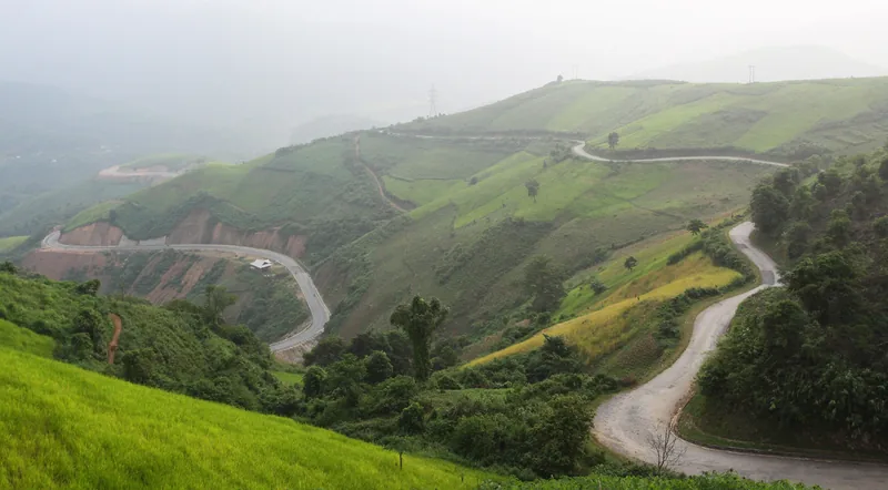
The Dien Bien section of the northwest road loop: passes, junctions, conditions and where it goes next.
Read more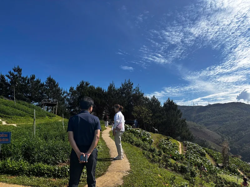
People · Villages
Villages and markets
Who lives where in Dien Bien, community tourism villages, market days and visitor etiquette.
Read more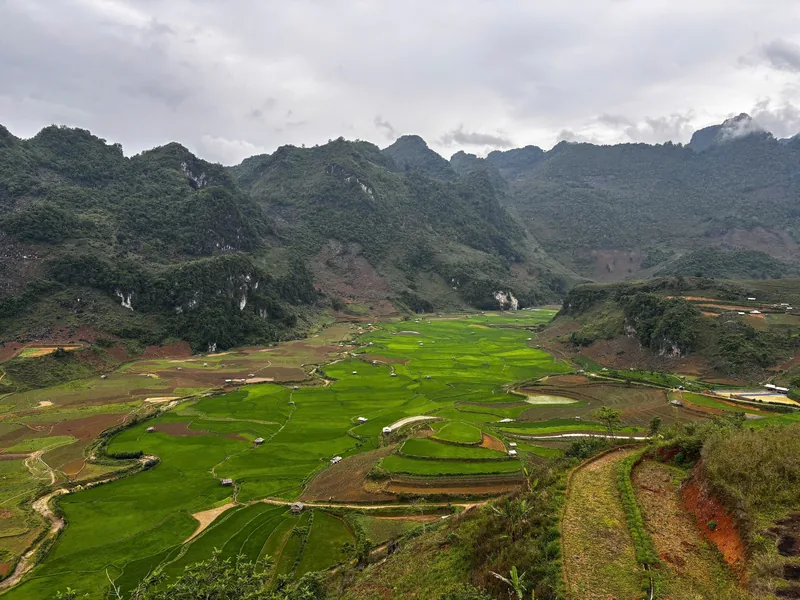
Places · Dien Bien Phu
Dien Bien Phu
The town and valley at the centre of the province: sites, nights, seasons, transport and costs.
Read more
Places
Places
The four main areas of Dien Bien province side by side: distance, time needed and who should skip them.
Read more
Planning · Getting there
Getting there
Flights, sleeper buses and riding to Dien Bien Phu compared, with times, fares and the rules for motorbikes.
Read more
Planning · Seasons
When to go
Dien Bien month by month: dry and wet seasons, ban flowers in March, rice harvests and anniversary dates.
Read more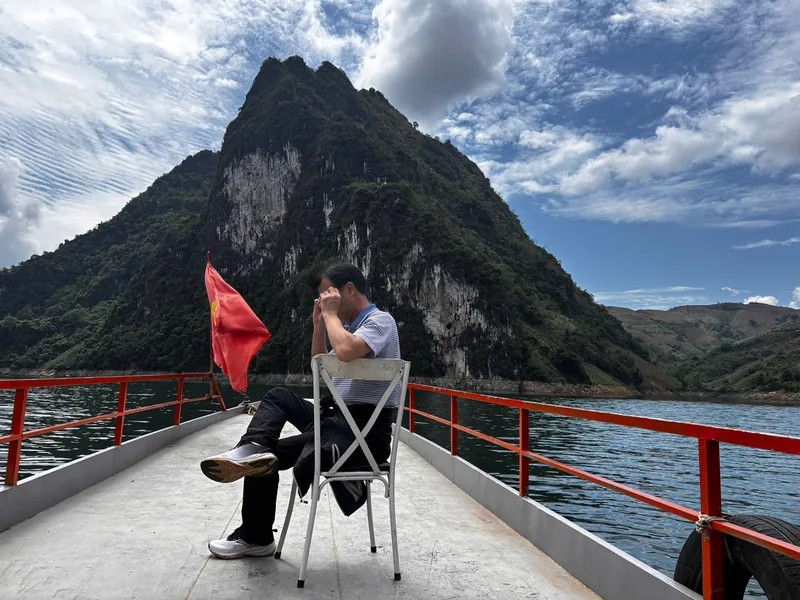
Start planning
Send a correction or a question
Tell us which page you are writing about, what you found and when. A link to an official notice or a photo of a sign helps us check it.