 The 1954 battlefield, mountain roads and villages of Dien Bien, explained in English
Roads · Northwest loop
The northwest loop through Dien Bien
Dien Bien sits at the far end of the road loop that many travellers drive or ride from Hanoi through the north-west mountains. This page covers the Dien Bien section: Pha Din pass on the way in from Son La, the junction at Tuan Giao, the road north to Muong Lay, and the side trip to Tua Chua.
The loop in outline
The usual northwest loop leaves Hanoi heading west through Hoa Binh and Moc Chau to Son La, crosses Pha Din pass into Dien Bien province, and drops down through Tuan Giao to Dien Bien Phu. From there it turns north on National Road 12 through Muong Lay to Lai Chau, then east over the high passes towards Sapa and Lao Cai, before returning to Hanoi. Done in the other direction, Dien Bien Phu comes in the middle instead of at the turning point.
In Dien Bien province, the loop has three sections worth understanding before you set out: Pha Din pass, the Tuan Giao junction and the valley road, and the northern road through Muong Lay. Tua Chua is a detour from the loop rather than part of it.
| Section | What to expect | Plan for |
|---|---|---|
| Son La – Pha Din – Tuan Giao | Long climb and descent, fog in winter mornings | Half a day with stops |
| Tuan Giao – Dien Bien Phu | Valley and hill road into the Muong Thanh basin | 2–3 hours |
| Dien Bien Phu – Muong Lay | National Road 12 north along valleys and the reservoir | Half a day |
| Muong Lay – Lai Chau | Continues north, leaving the province | Half a day |
| Detour to Tua Chua | Provincial roads up to the plateau, landslide-prone | 1–2 days return |
The times above are planning estimates for a car or motorbike in dry weather, including short stops. They are not driving times from a timetable. Add time after rain.
Sources: VnExpress — Dien Bien travel handbook (December 2023); Travelfish — Muong Lay (undated listing); Local Vietnam — Pha Din Pass (independent guide) · last checked .
Pha Din pass
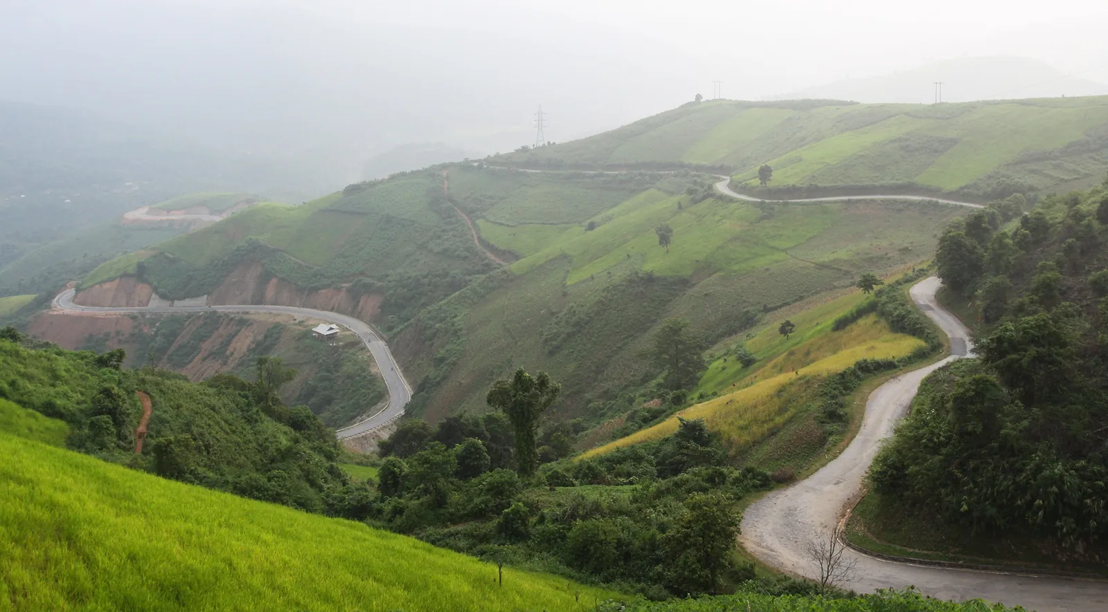
Pha Din is the pass on the boundary between Son La and Dien Bien provinces, and for most road travellers it is the gateway to Dien Bien. Its highest point is 1,648 m. The length depends on where you start counting: about 32 km in most sources, 44 km in a Vietnam News Agency feature. The old road, marked as old National Road 6, climbs in switchbacks with gradients reported to reach 19% in places; the descent on the Dien Bien side is the steeper.
A newer, faster road now bypasses the hardest part of the old pass. The old road is the one with the views and the small tourist stop at the top, with cafés, flower gardens and a memorial plaque, but no fuel station or proper restaurant. Allow at least 1.5 to 2 hours to cross the old pass with stops.
Fog is common in early mornings, especially from October to March: drive with lights on and keep your speed down. Blind corners, uneven surfaces and oncoming trucks cutting corners are the main hazards. In heavy rain, landslides can close the road.
Sources: Local Vietnam — Pha Din Pass (independent guide); Vietnam News Agency — four great mountain passes of the northwest; VnExpress — Dien Bien travel handbook (December 2023) · last checked .
Tuan Giao and the road down to the valley
Below the pass, Tuan Giao is the junction town where the road from Son La meets the road down to Dien Bien Phu and the routes north. It has fuel, food and basic accommodation, and it is where travellers heading for Tua Chua leave the main road. From Tuan Giao, the road to Dien Bien Phu follows valleys and crosses lower hills before opening onto the flat Muong Thanh basin.
If you have come over Pha Din from Son La in one day, you will reach Dien Bien Phu in the late afternoon. That leaves no time for the battlefield sites, which close at 17:30 in the cooler months and 18:00 from March to September, so plan your first visits for the next morning.
Sources: Bao Van Hoa — Dien Bien Relics Management Board changes opening hours (March 2026) · last checked .
North to Muong Lay
From Dien Bien Phu, National Road 12 runs north through valleys to Muong Lay, roughly halfway to Lai Chau. The town was rebuilt on the slopes after the reservoir of the Son La dam flooded the original settlement. High bridges now cross the water; the newest stands more than 70 m above the level of the old Hang Tom bridge of 1967.
Muong Lay is a sensible overnight stop: it breaks the long drive from Dien Bien Phu to Sapa, and the reservoir is at its most striking in the early morning. North of the town the road leaves Dien Bien for Lai Chau province. More on the town is on the Tua Chua and Muong Lay page.
Sources: Travelfish — Muong Lay (undated listing); VnExpress — Dien Bien travel handbook (December 2023); Wikipedia — Son La Dam · last checked .
The detour to Tua Chua
Tua Chua is a limestone plateau around 1,400 m, known for its ancient Shan Tuyet tea trees and Hmong villages. It lies off the main loop on provincial roads that are regularly damaged by floods and landslides, so it suits travellers with time and a specific interest. Allow at least one night. Ask locally about the road before you go, and do not attempt it in heavy rain.
Sources: Viet Nam News — Tua Chua, Dien Bien's unpolished gem (2018); Vietnam National Authority of Tourism, rural tourism site — Dien Bien ecotourism · last checked .
Season and safety on these roads
The dry months from October to April are the safer time to drive the loop. From May to August, heavy rain brings landslides that block mountain roads, sometimes for hours. The UK Foreign Office notes that roads may be blocked by mudslides and landslides in the rainy season, that bus and coach crashes are more likely at night, and that motorbike accidents are common and have killed and injured foreign visitors.
If you are riding a motorbike, you need a 1968-convention International Driving Permit together with your home licence; helmets are compulsory, and riding without third-party insurance is illegal. Check that your travel insurance covers motorbike riding. Details are on the getting there page.
Sources: UK Foreign Office — Vietnam safety and security · last checked .
Linking the loop to Laos
Some travellers use Dien Bien Phu as the point where they leave the loop and cross into Laos at Tay Trang, about 35 km west of town. If that is your plan, read the Tay Trang page before you set out, because the Lao eVisa does not work at that crossing.
Sources: Lao eVisa official portal — ports of entry; Local Vietnam — Dien Bien Phu to Laos border (independent guide, July 2025) · last checked .
Who should not do this loop
- Inexperienced motorbike riders. Mountain switchbacks with trucks and fog are not the place to learn.
- Travellers with only a few days in northern Vietnam. Flying to Dien Bien Phu and back saves two long road days.
- Anyone planning to ride in July or August without spare days for road closures.
- People who get car-sick easily, on the old Pha Din road in particular.
Common questions
Questions readers ask
How long is Pha Din pass?
About 32 km in most sources, though one Vietnam News Agency feature gives 44 km. The highest point is 1,648 m.
Is there a bypass around Pha Din?
Yes, a newer road avoids the steepest section of the old pass and is faster. The old road has the views and the rest stop at the top.
Which direction should I drive the loop?
Either works. Going anticlockwise via Son La puts Pha Din before Dien Bien Phu; clockwise via Sapa puts Muong Lay first. Choose the direction that ends nearest your onward plans.
Do I need a licence to ride a motorbike?
Yes. The UK Foreign Office says you need a 1968-convention International Driving Permit and your home licence, plus third-party insurance; helmets are compulsory.
Related
Read next

Planning · Getting there
Getting there
Flights, sleeper buses and riding to Dien Bien Phu compared, with times, fares and the rules for motorbikes.
Read more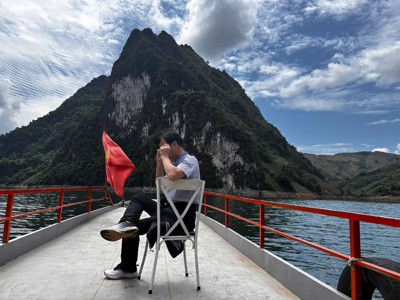
Places · Tua Chua and Muong Lay
Tua Chua and Muong Lay
The northern side of Dien Bien: Tua Chua plateau and tea, Muong Lay and the reservoir, how to fit them in.
Read more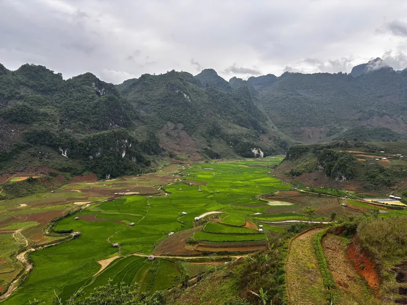
Places · Dien Bien Phu
Dien Bien Phu
The town and valley at the centre of the province: sites, nights, seasons, transport and costs.
Read more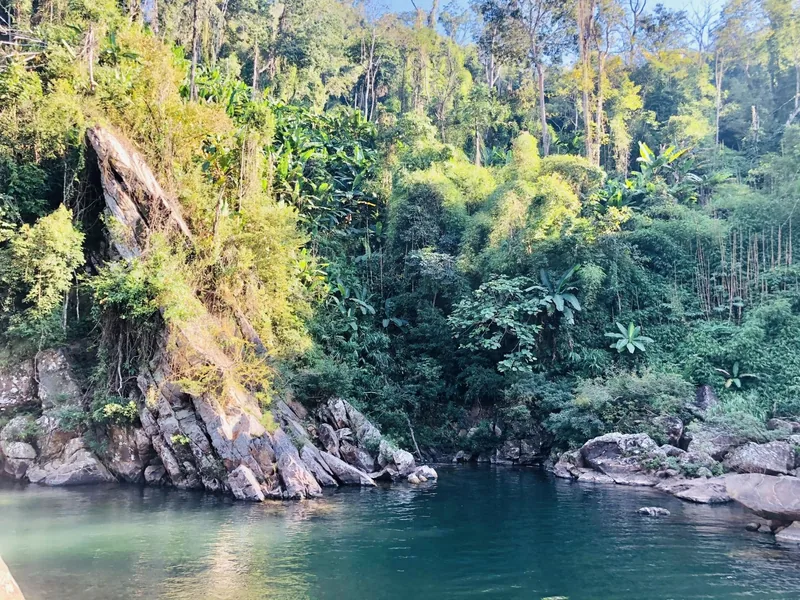
Planning · Days
How many days
Sample plans for one to five days in Dien Bien, and how arrival, opening hours and seasons change them.
Read more
Planning · Seasons
When to go
Dien Bien month by month: dry and wet seasons, ban flowers in March, rice harvests and anniversary dates.
Read more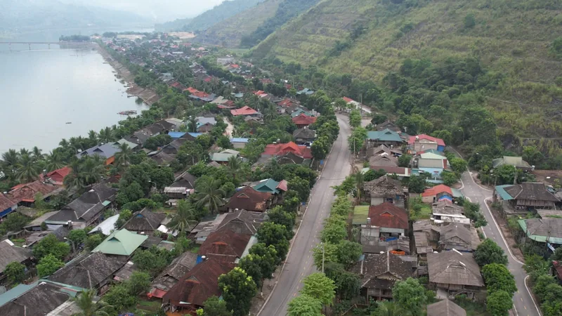
Border · Laos
Tay Trang border
The Tay Trang–Sop Hun crossing: visas on each side, distances, buses, opening times and pitfalls.
Read more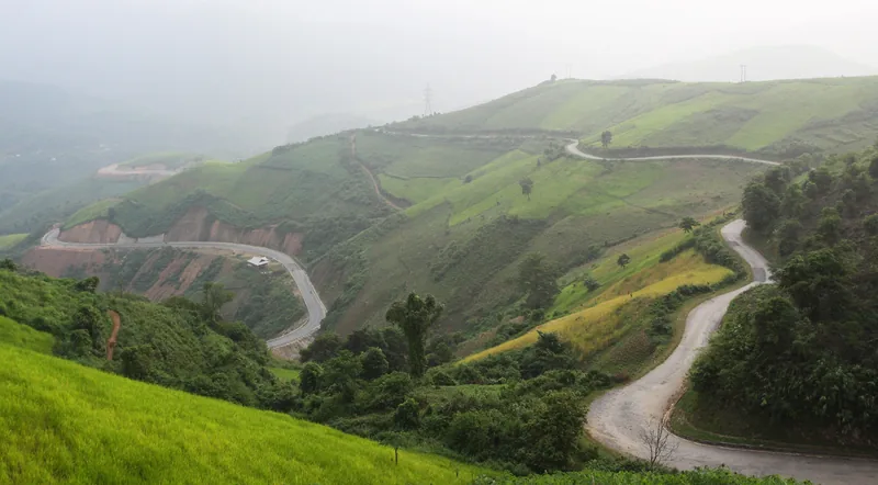
Start planning
Send a correction or a question
Tell us which page you are writing about, what you found and when. A link to an official notice or a photo of a sign helps us check it.